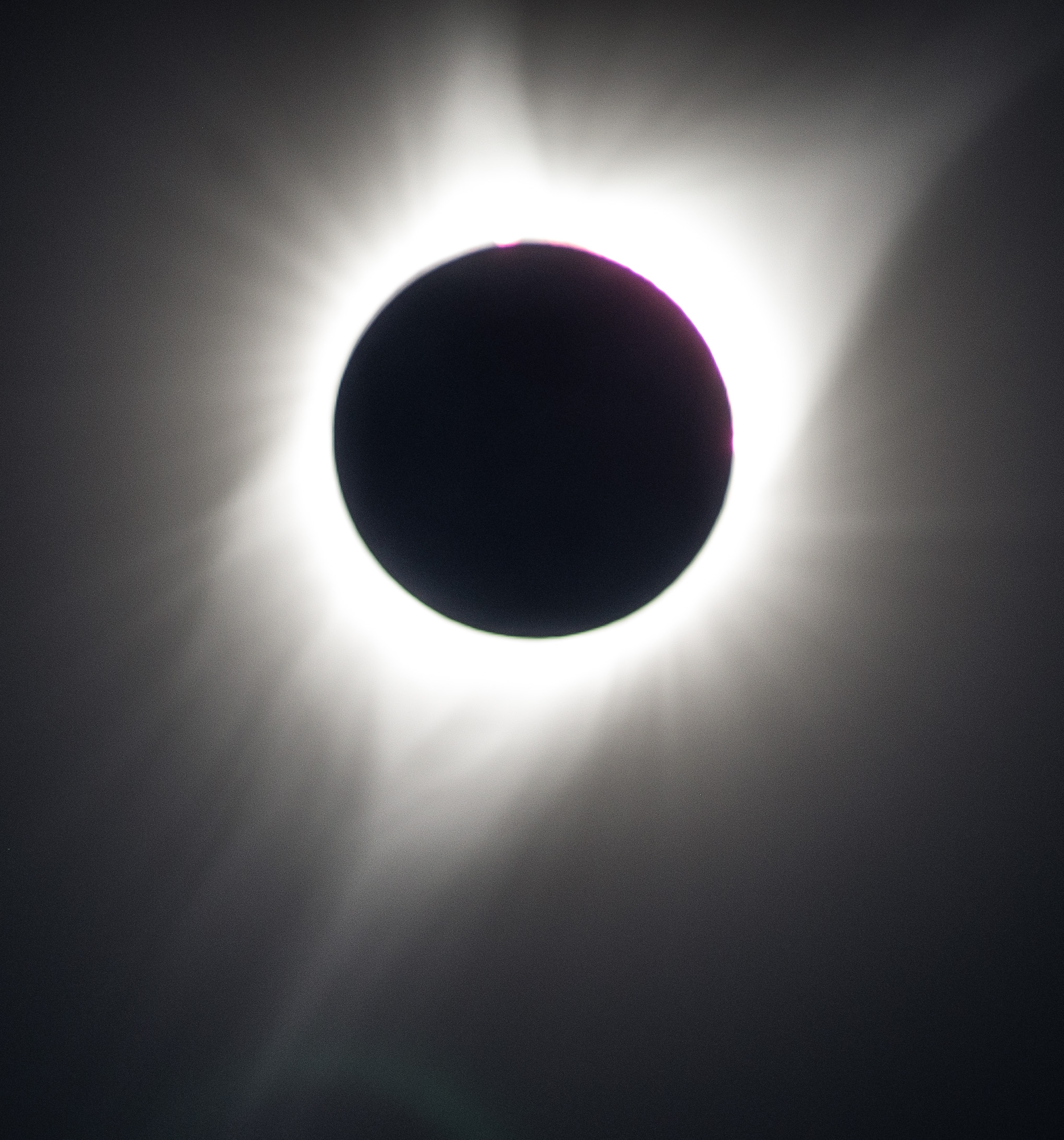
 Total eclipse photo taken with cropped sensor camera, 300mm lens and 1.4x teleconverter.
I got behind the wheel at 3:30 in the afternoon Thursday, August 17th, looking forward to the drive to an undetermined location in Nebraska along the center point of solar eclipse totality occurring on Monday, August 21st. Not much was planned, except to get through Iowa as fast as I could – on my way out and coming back. I packed cameras, a drone, beer, some Steinbeck and Stegner to listen to and camping gear.
Friday, August 18th – Niobrara River Valley
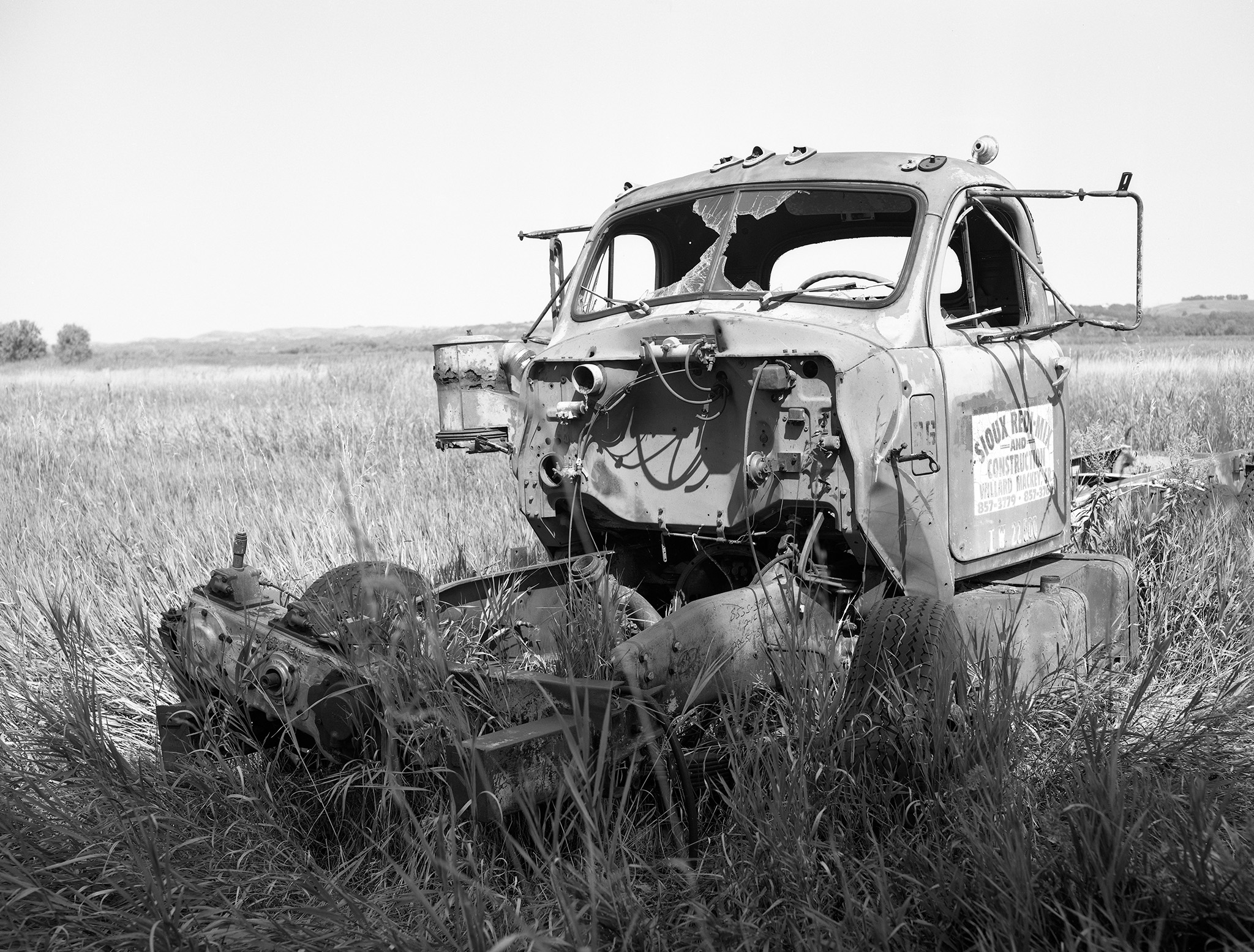
Northeastern Nebraska’s border is defined by the course of the Missouri River. Highway 12 in this region takes you through part of this Missouri River watershed. The town of Niobrara is located where the Niobrara River flows into the Missouri. Wetlands surrounding the town contain buildings, vehicles and other items left to retire – some after flooding.
Verdel, Nebraska

Verdel, Nebraska was incorporated very early in the 1900’s as the Chicago and Northwestern Railroad extended it’s line west into northern Nebraska. Verdel’s population skyrocketed to 140 in the 1910 census – obviously calling for a jail, like any large Nebraska town of that era. Today, 30 residents remain in this town on Nebraska Hwy 12.
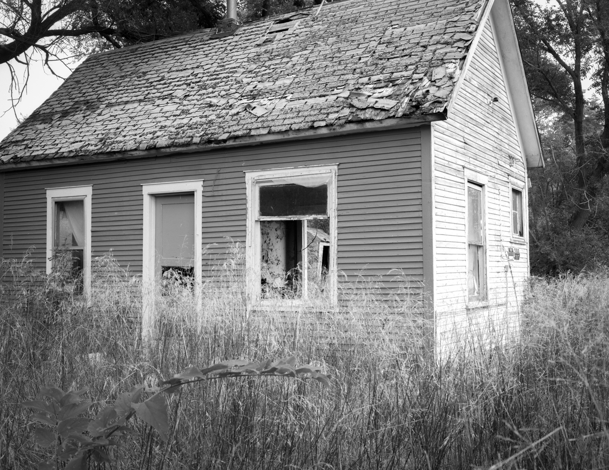
Verdel’s downtown area hasn’t been the same since the Dew Drop Inn was demolished after being flooded in 2011. Homes and other buildings in town have been “let be”.
Monowi, Nebraska – population 1

No kidding, this town is made up of one inhabitant, Elsie, who is mayor, librarian, and bartender at the Monowi Tavern.
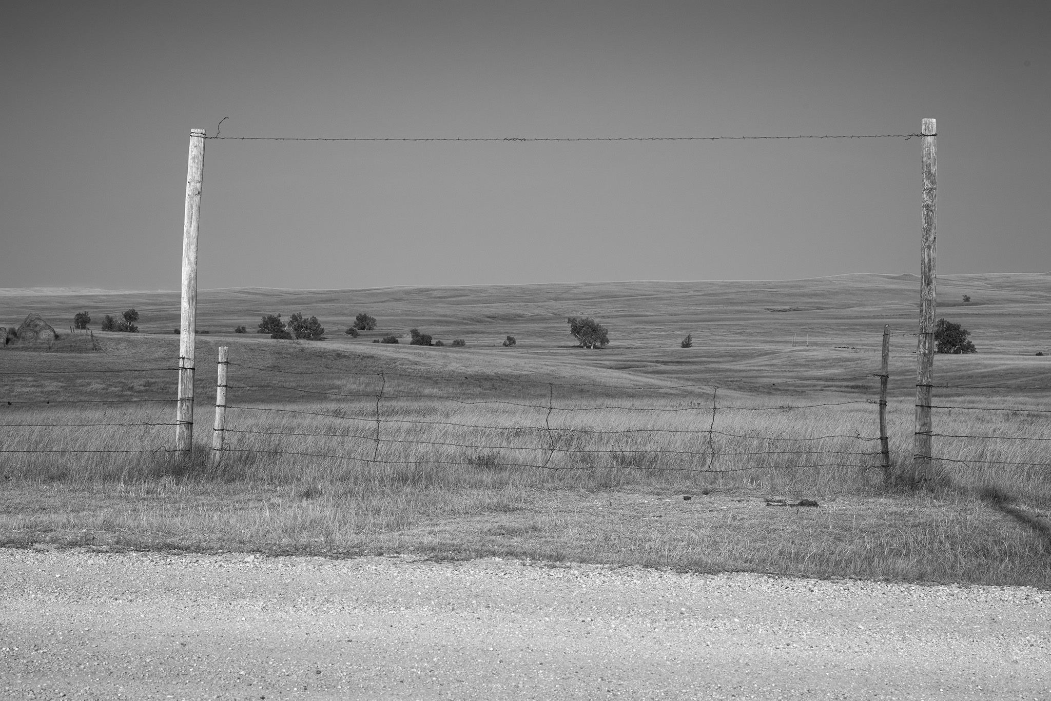
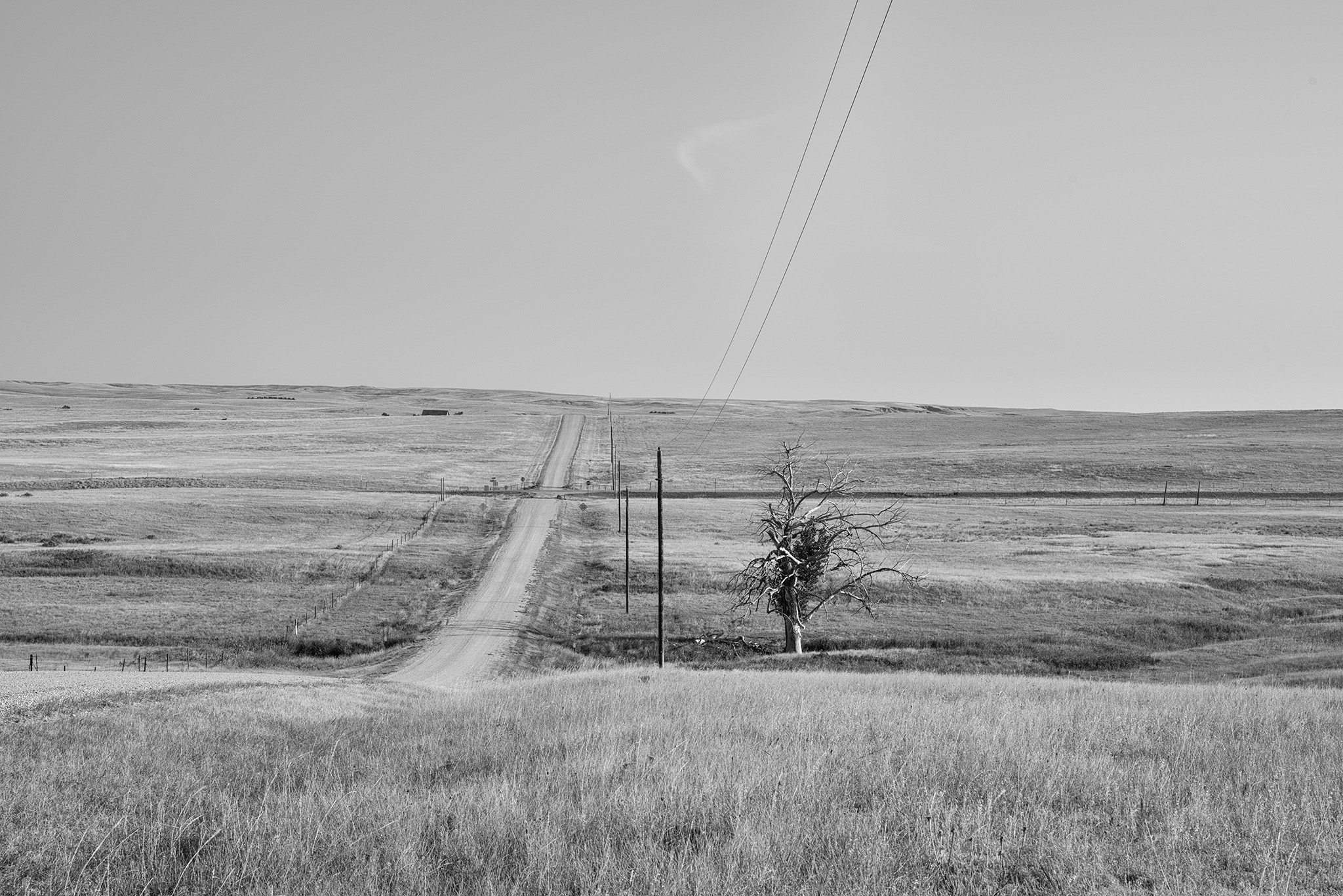
Near Dunning, Nebraska – The Sandhills
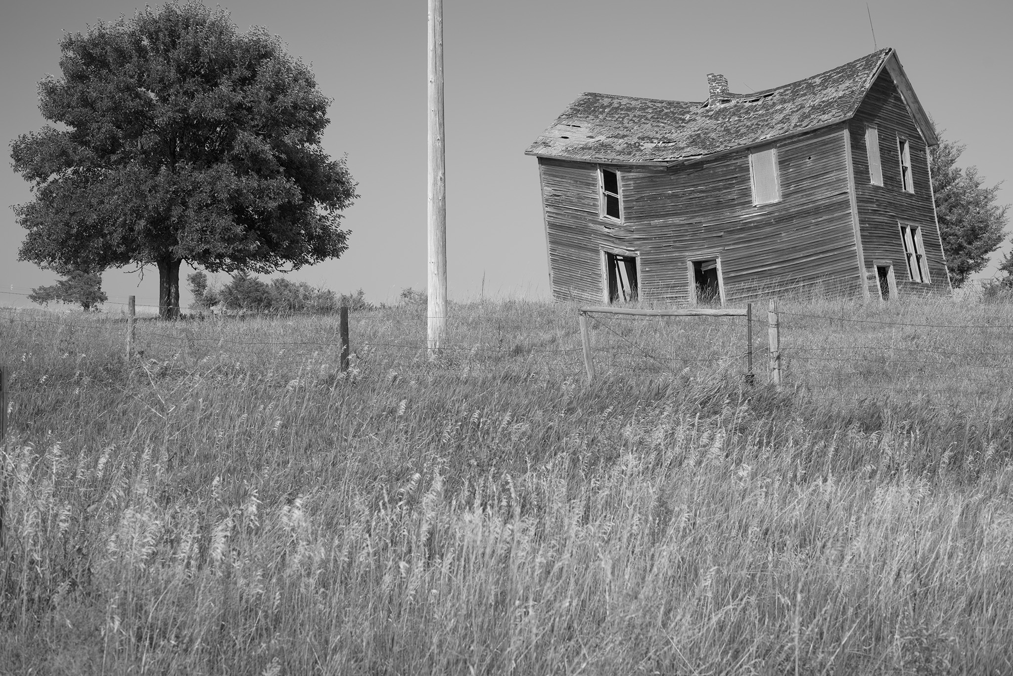
Driving from the northeast to the central region of Nebraska, you’ll see more of these old buildings along the highway. I’m grateful that there’s nobody in any great hurry to take these structures down.
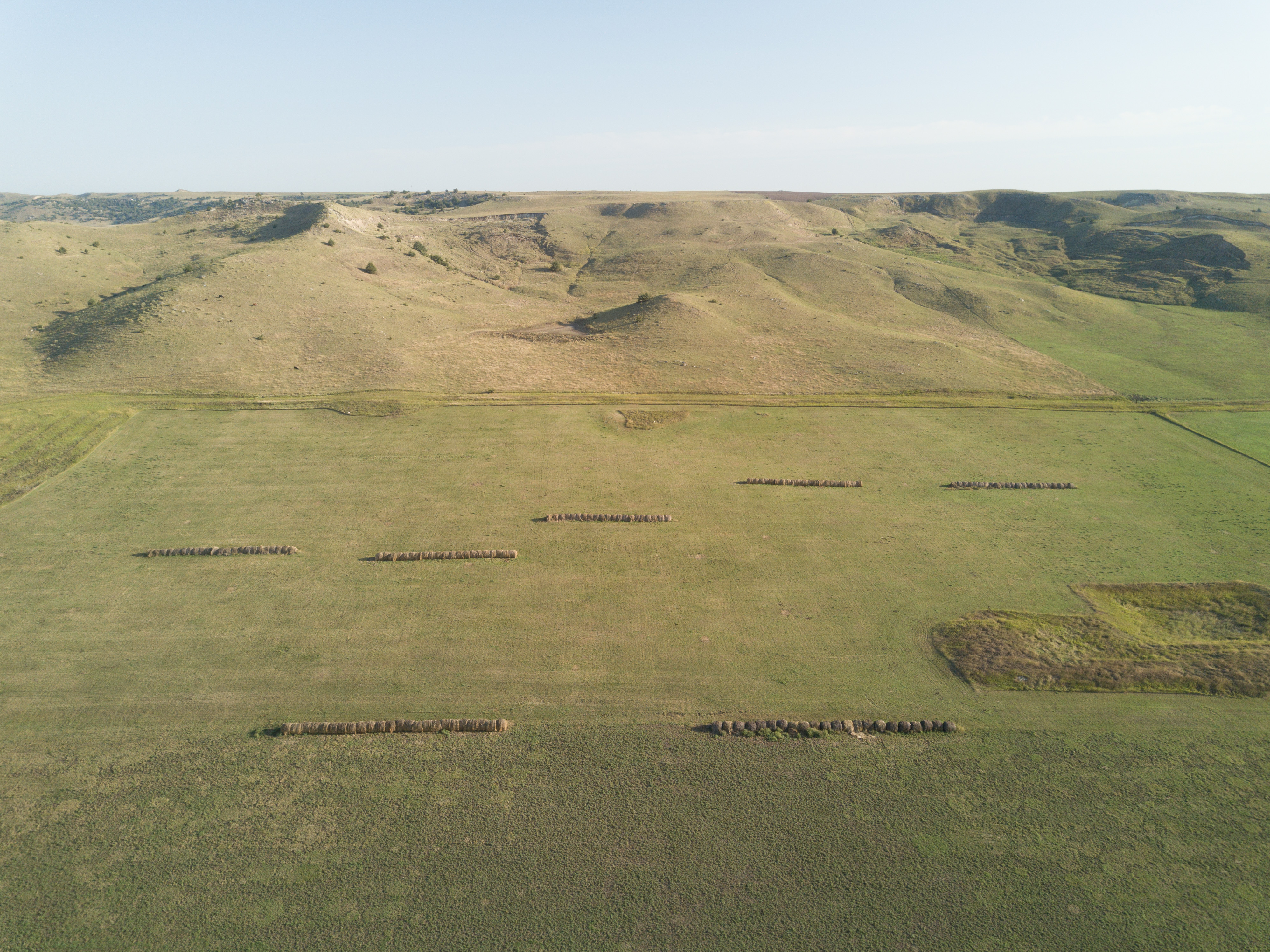
The Sandhills – Ranching on Grass-Topped Sand Dunes 


The Outer Limits Tavern – Sidney, Nebraska
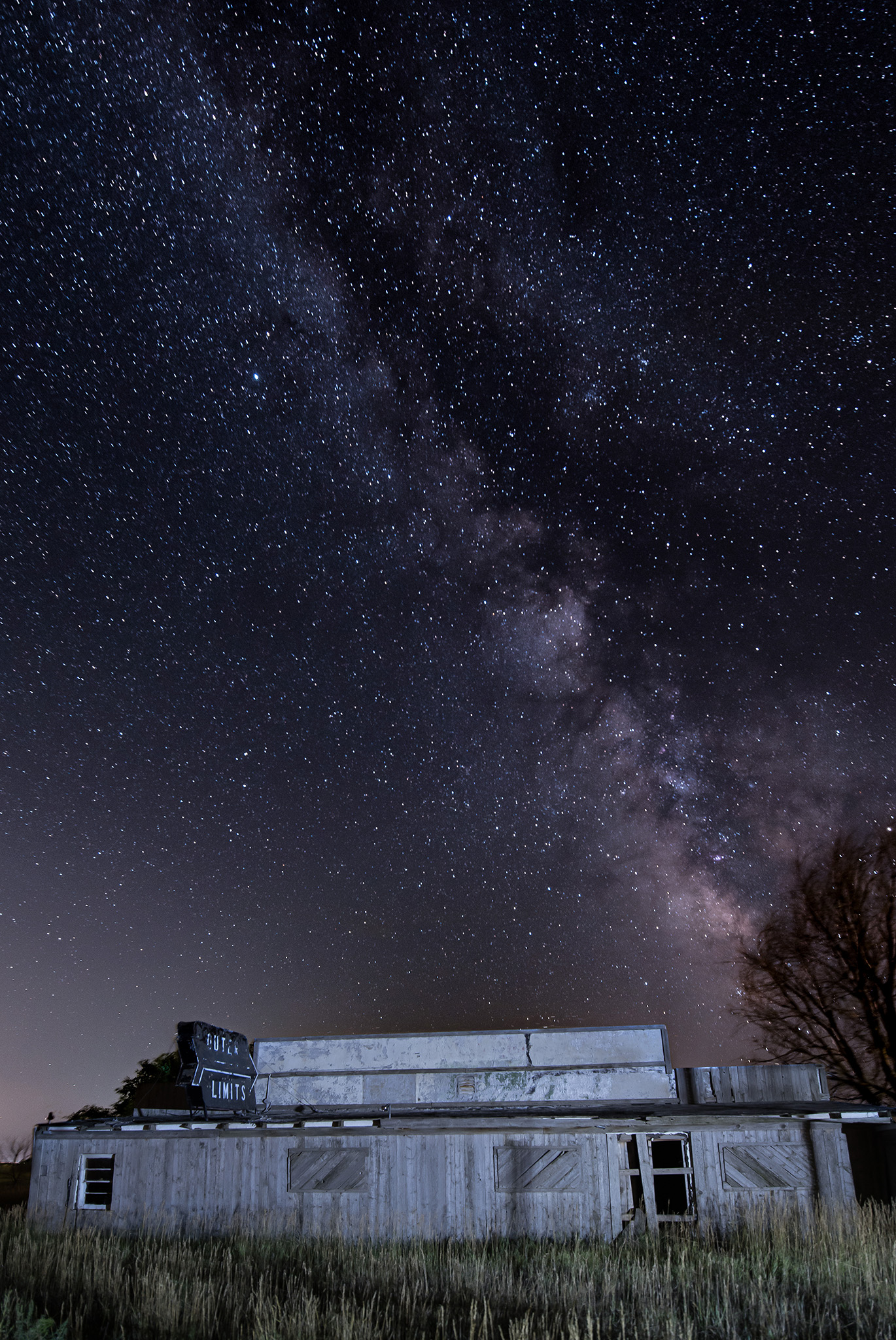
I drove through Sidney, Nebraska the night of the 18th with almost 1,000 miles into the trip. The Outer Limits Tavern is just north and west of Sidney. I opened up a couple of Hamm’s in the parking lot – it was past bar-time at the Outer Limits.
Saturday, August 19th – Sterling, Colorado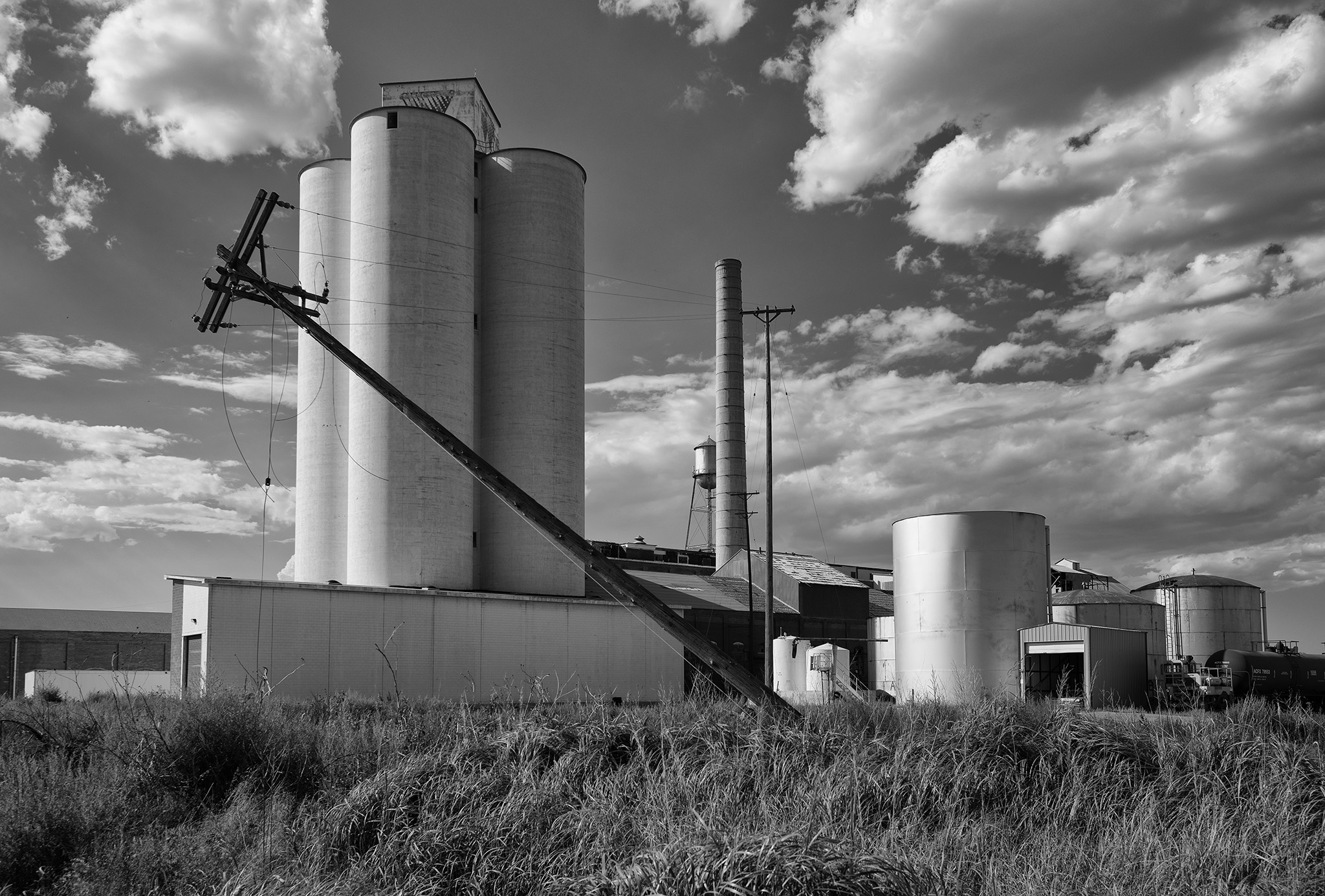
Sterling is about 40 miles south of the Nebraska border and offered an available hotel for two nights. Sterling had a Western Sugar production and distribution facility that has been abandoned. Strangely, the agitators were still spinning in the storage silos.
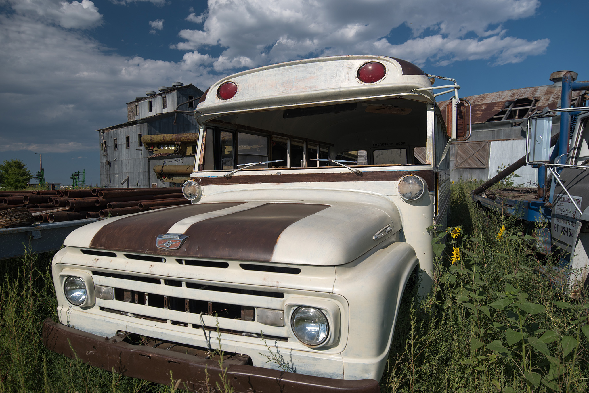
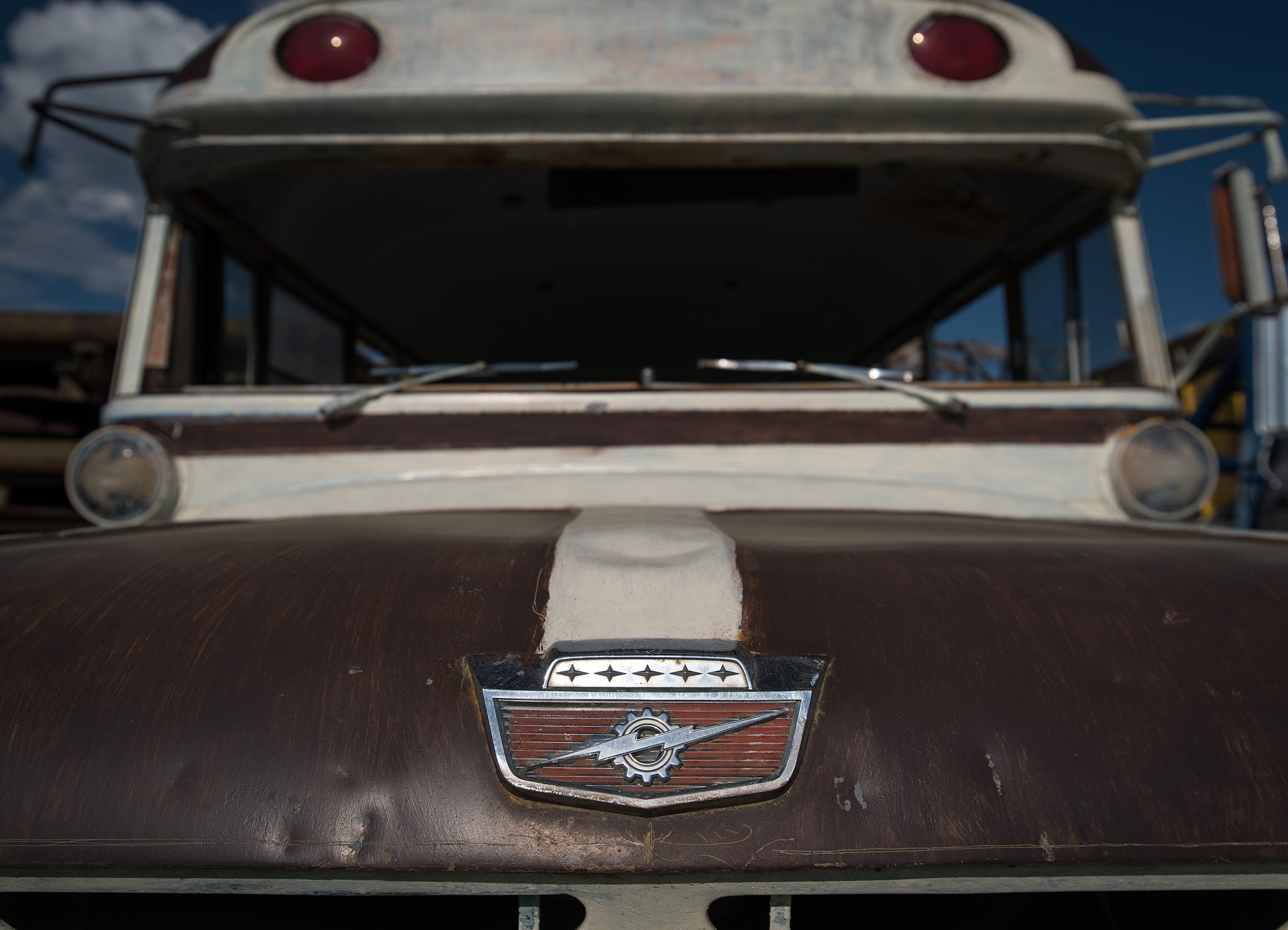
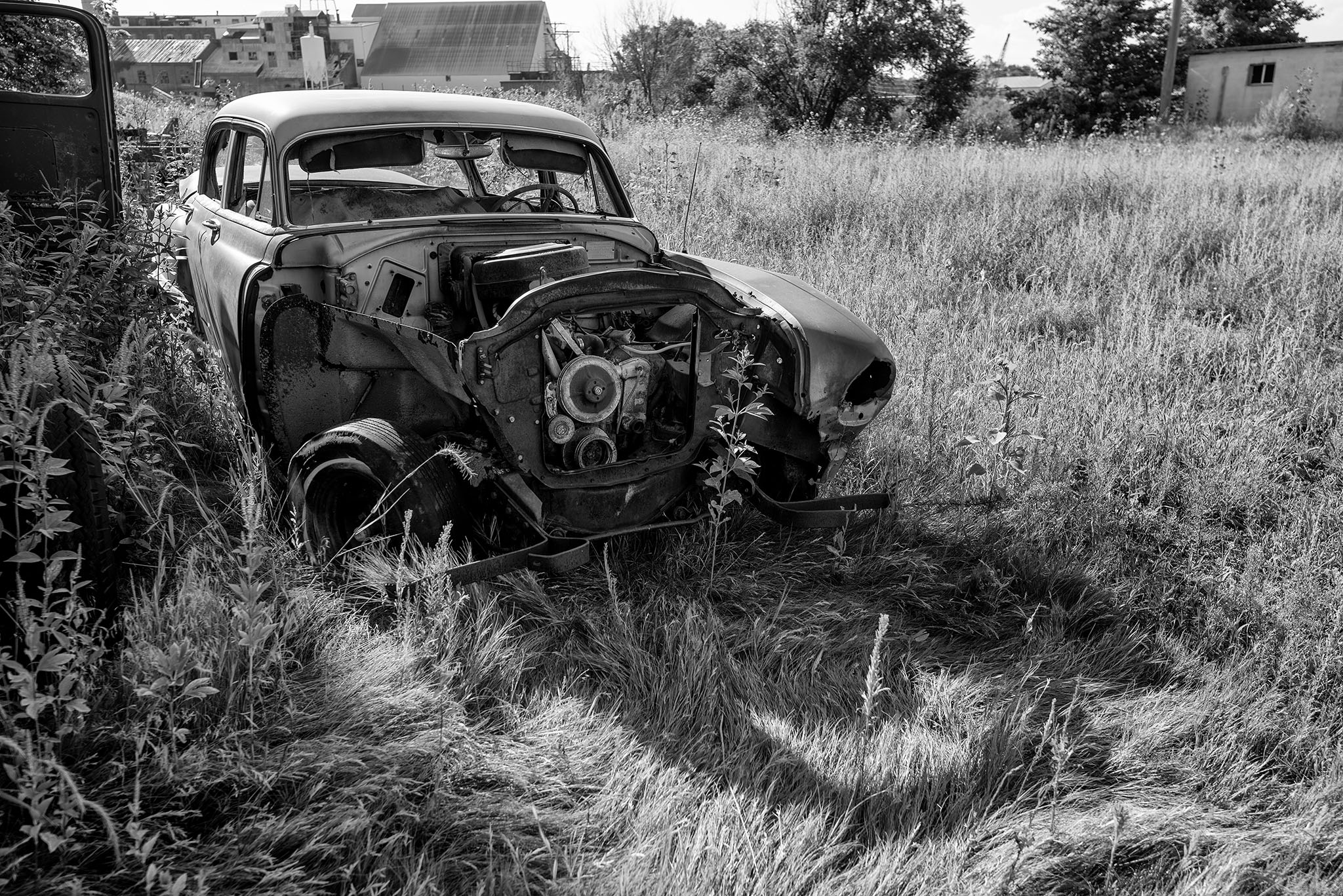
The area around the old sugar facility is used as a resting place for this old Ford military bus.

And a variety of classic left-for-dead items.
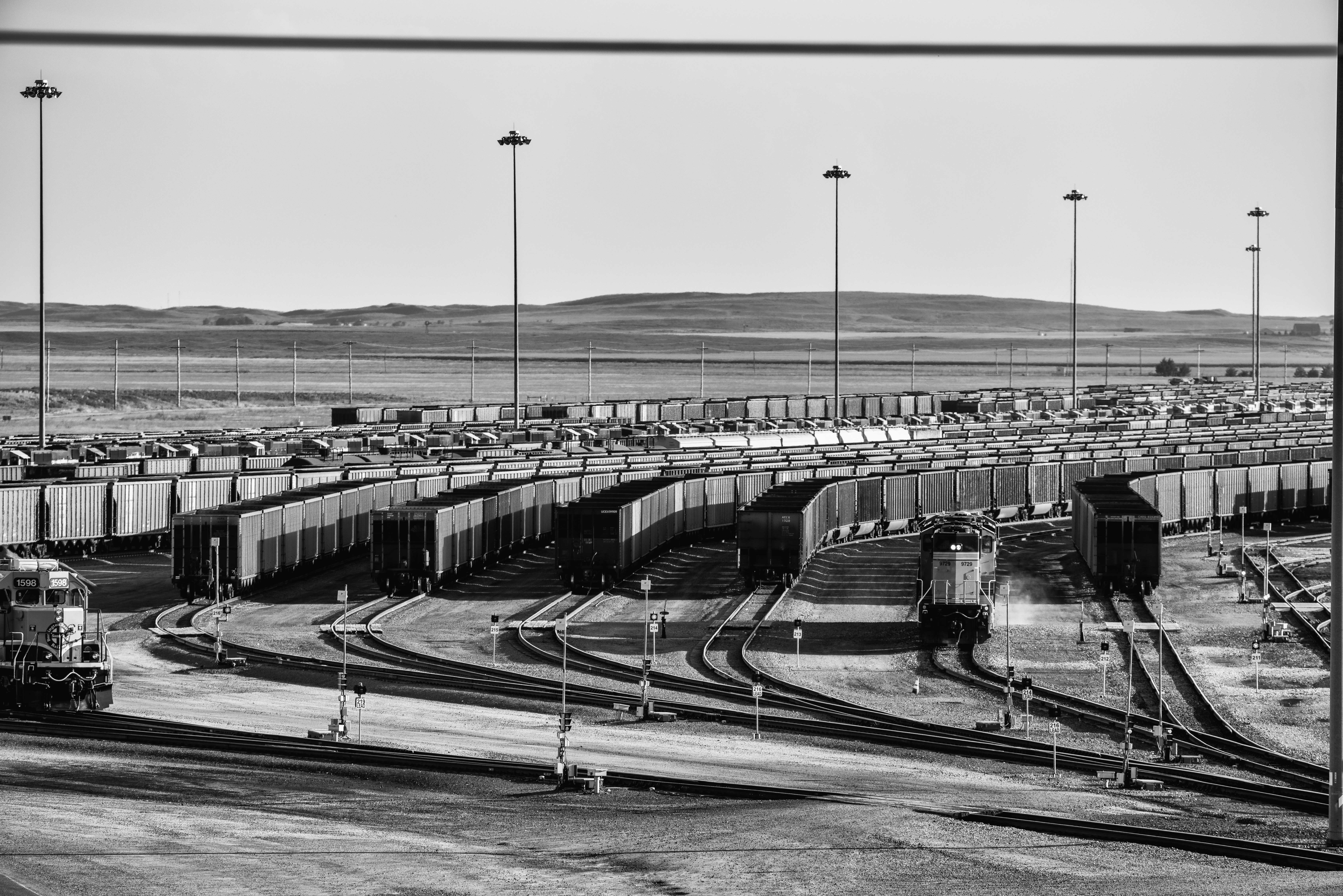
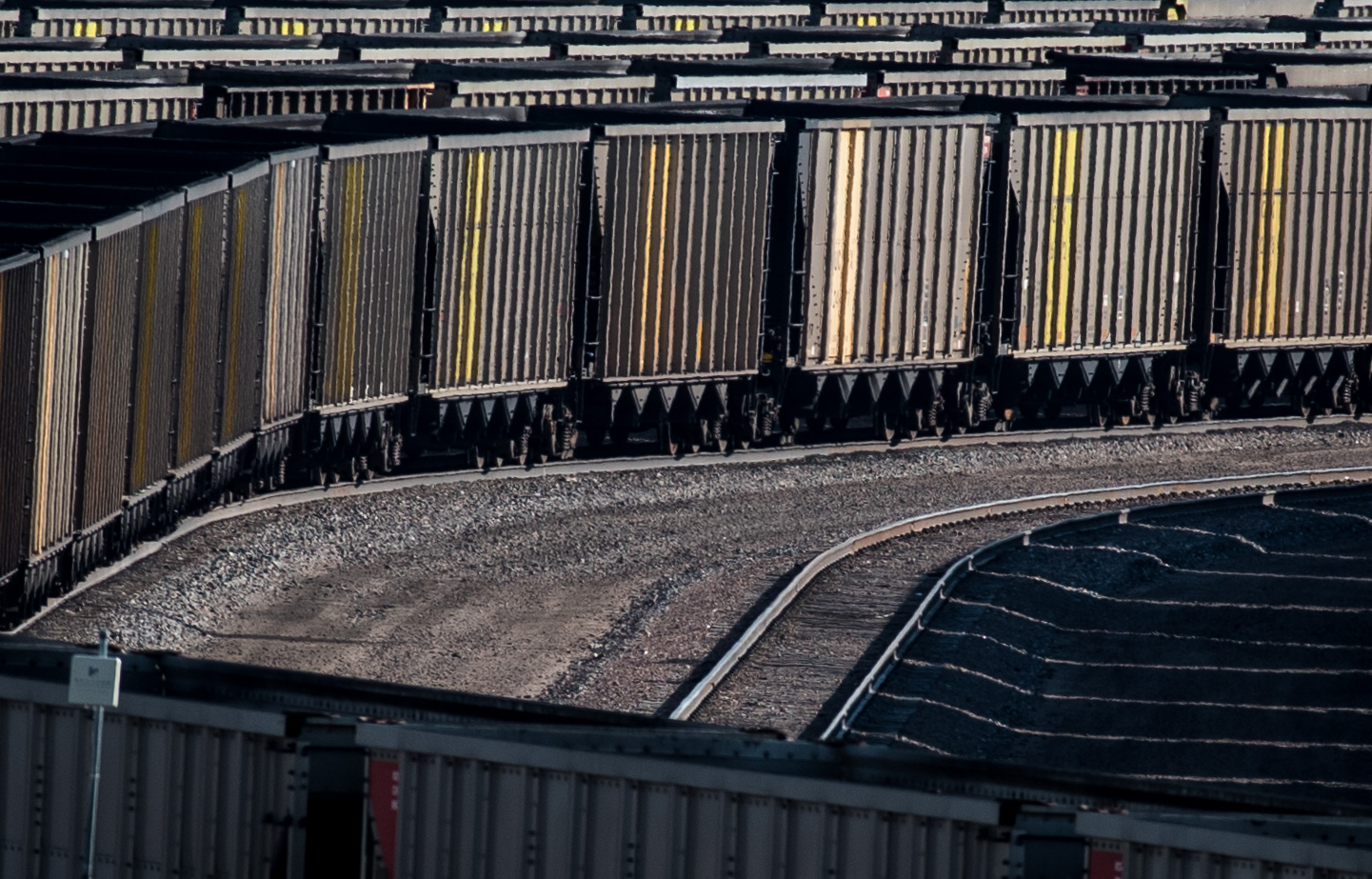
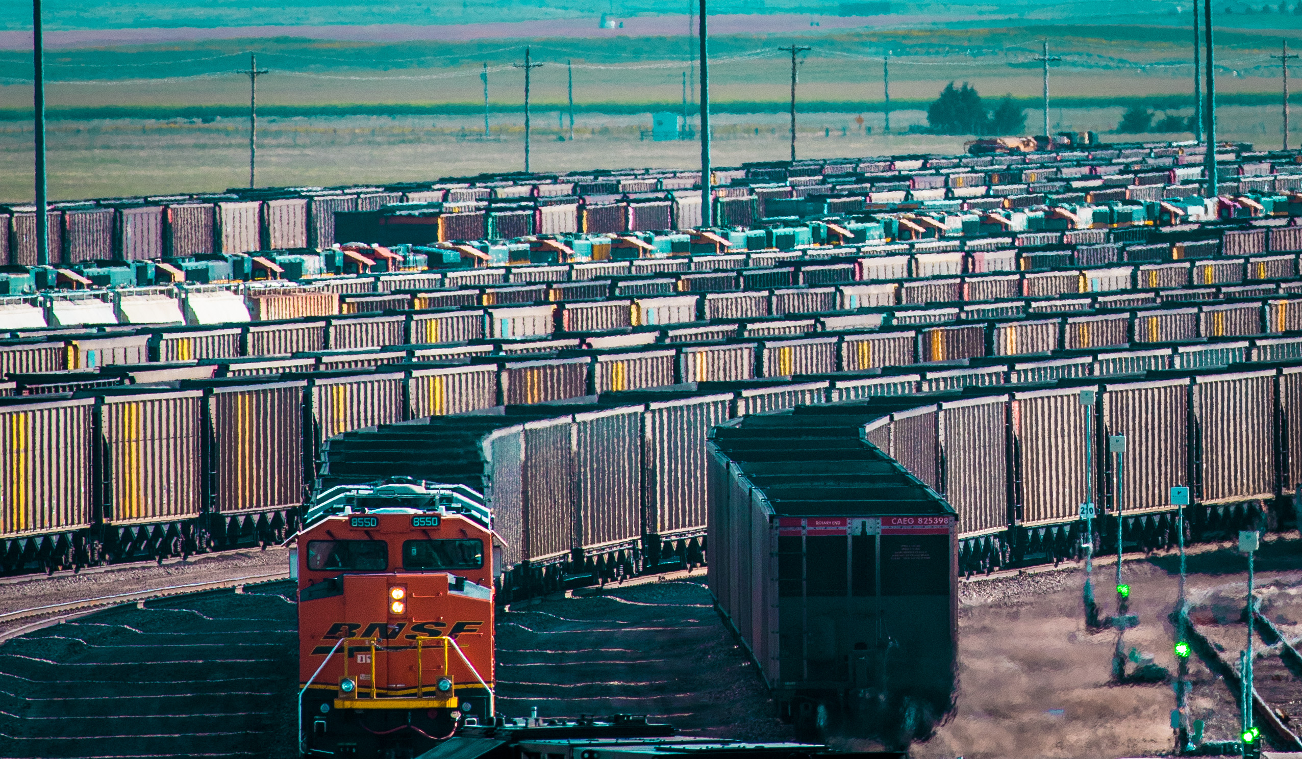 Sunday, August 20th – Alliance, Nebraska
I had originally planned to view the eclipse in the Sandhill region outside a small town call Tryon. The weather forecast was dicey, so late in the week I decided to drive west and view the eclipse at Alliance – directly on the center of the line of totality.

Alliance is the home of Burlington Northern – Santa Fe’s largest distribution center. It’s the pass-through for a constant string of coal shipments coming from coal fields near Gillette, Wyoming.
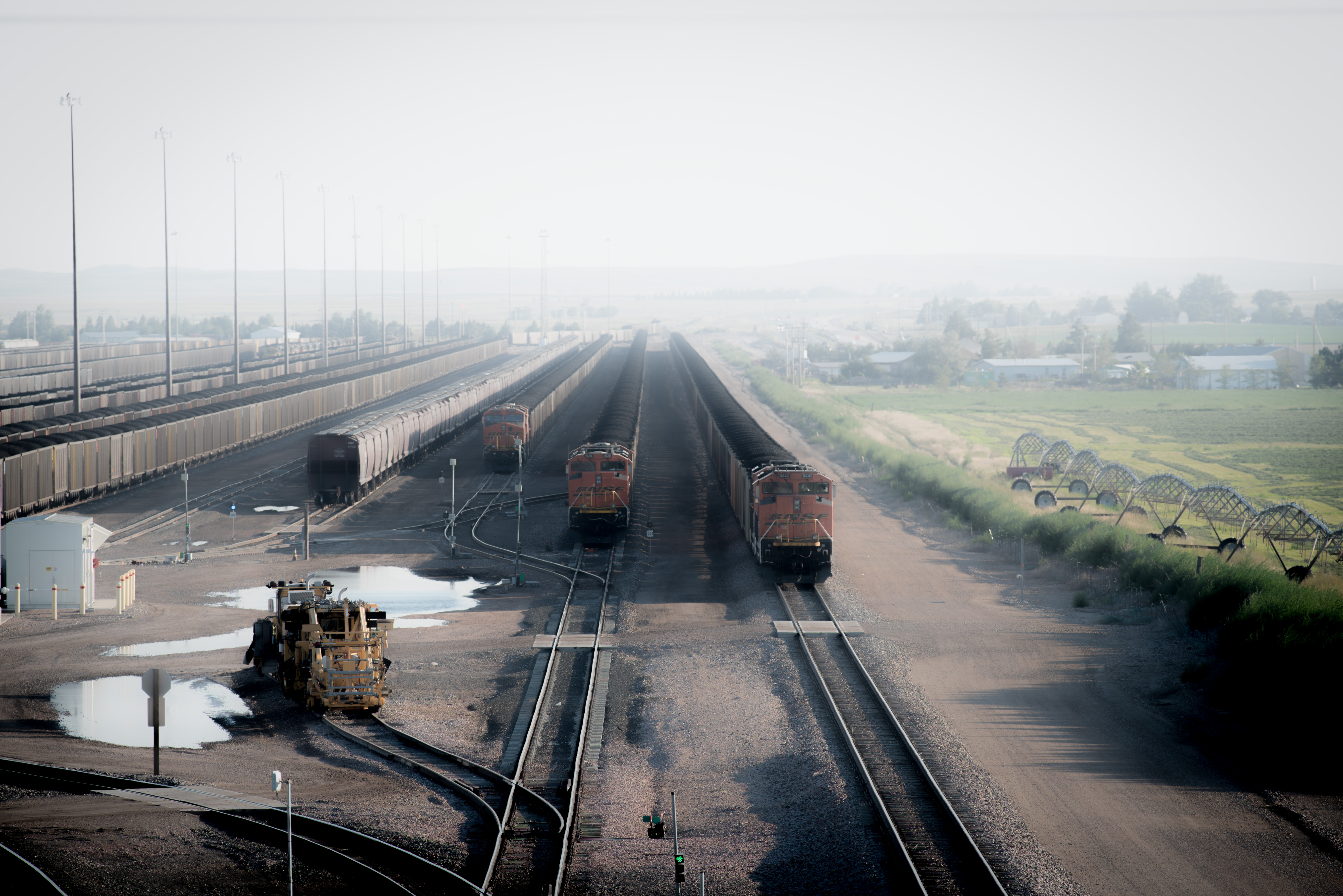
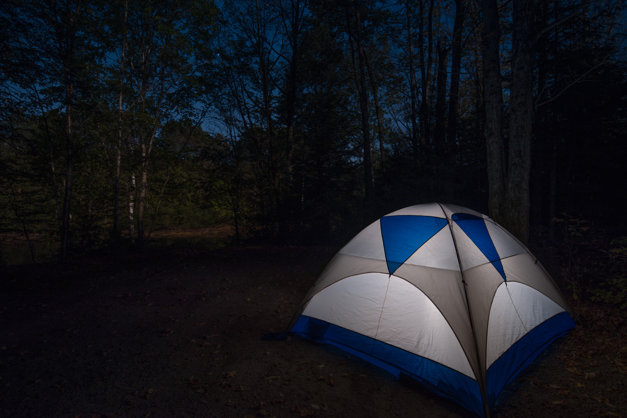
I had found a truck shop owner’s field that had been opened up for visitor camping. The next day was Monday – totality was to begin at 11:54 am.
Monday, August 21st – on the road in South Dakota
I had driven for only 1 or 2 miles of Interstate up to this point of the trip. I wasn’t going to give into the temptation of 80 mph speed limits on South Dakota freeways. I’m glad I found my way by two lane state highways.
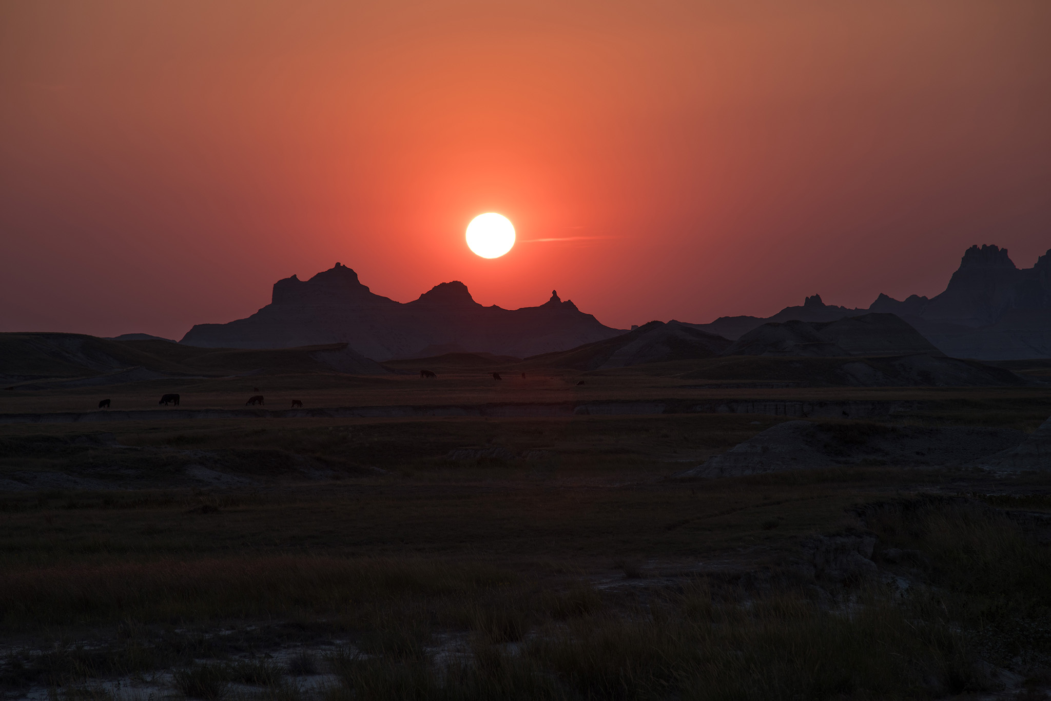
The sun had been a super-star on Monday. It gave me a final thrill as it set on the South Dakota Badlands.
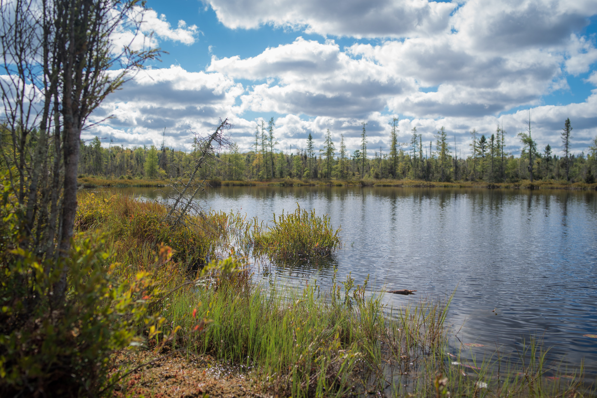
Tuesday, August 22nd – Missouri River Valley – South Central South Dakota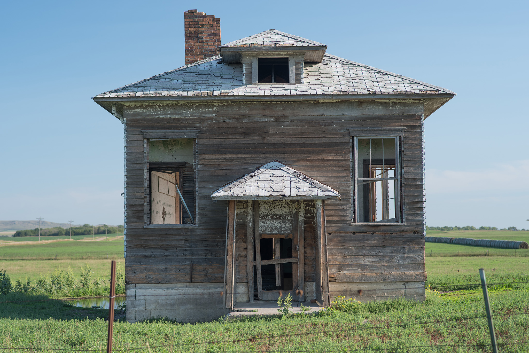
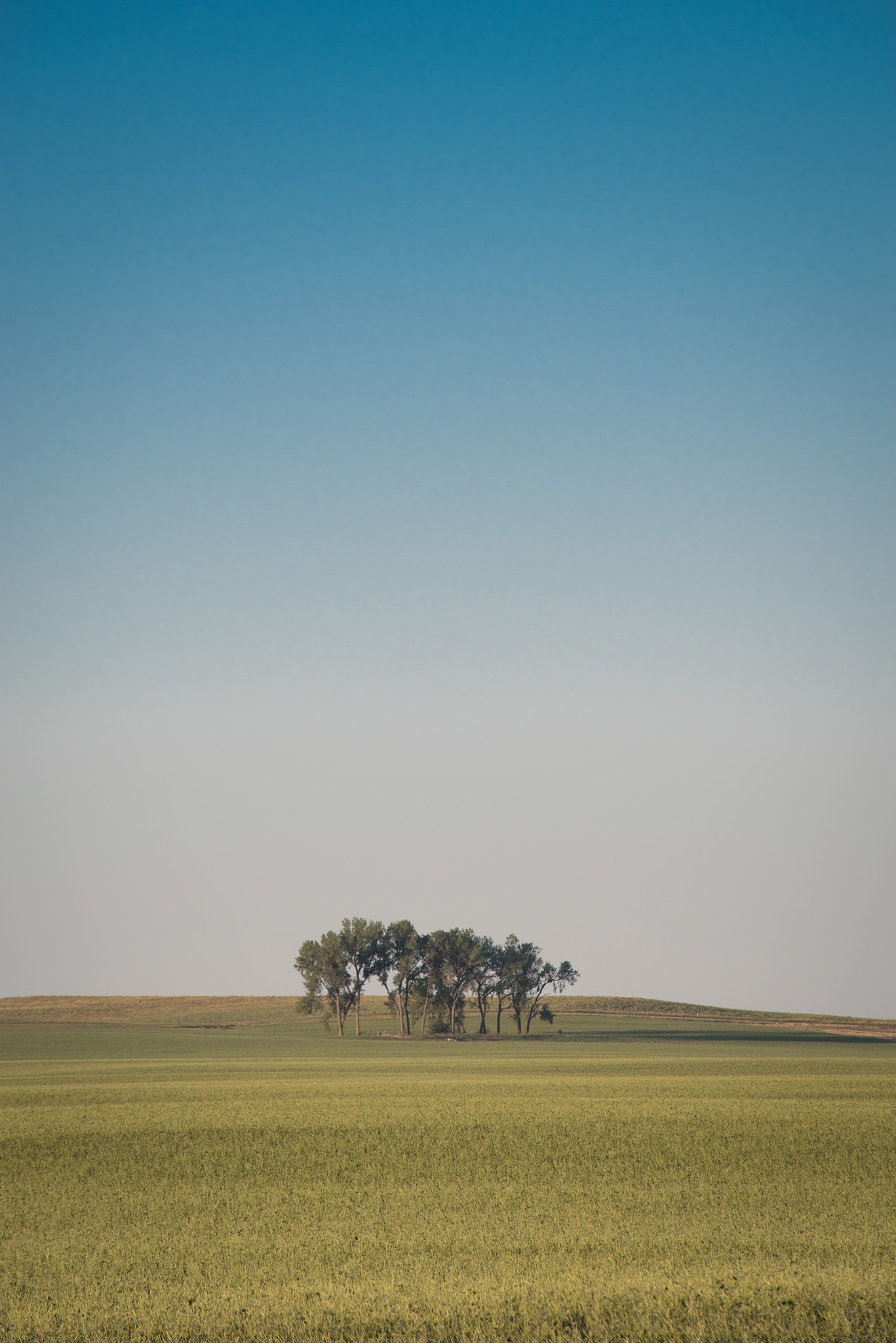
This is the Bijou Hills area of South Central South Dakota. Drive through the center of the state on Interstate 80 and you’ll see Mitchell S.D. and endless fields. Or you could drive through the southern part of the state and you’ll see the Bijou Hills.

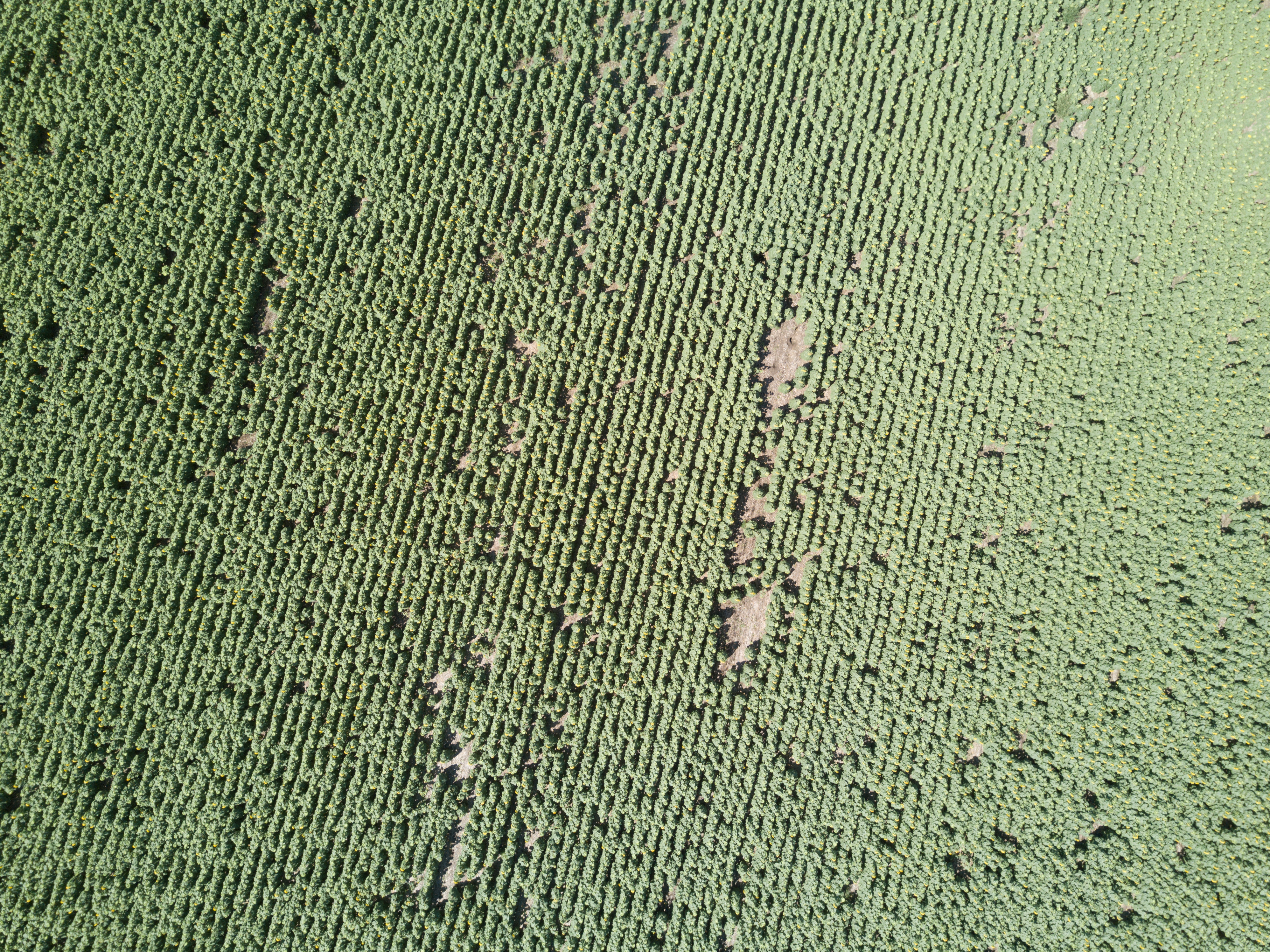
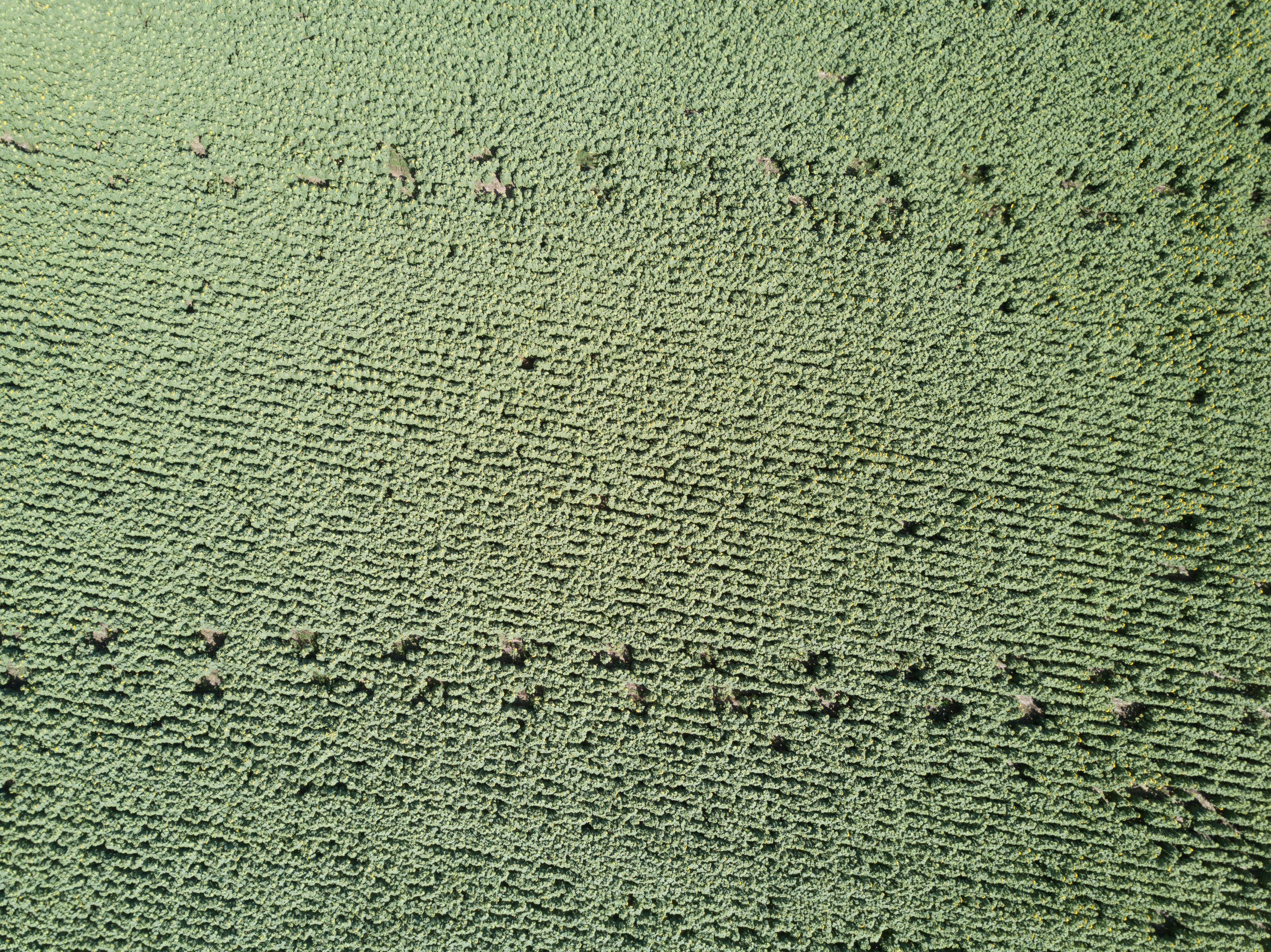
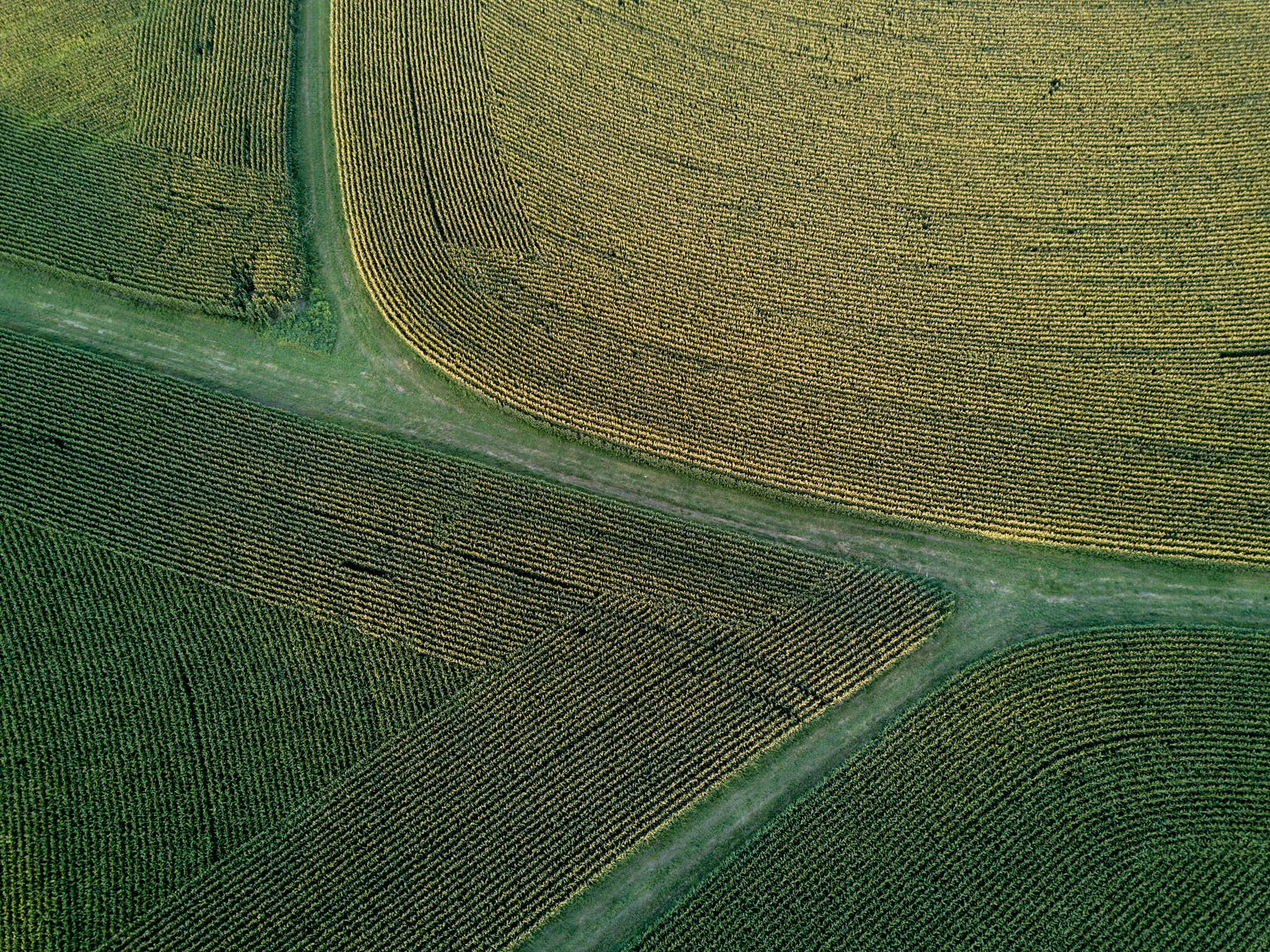
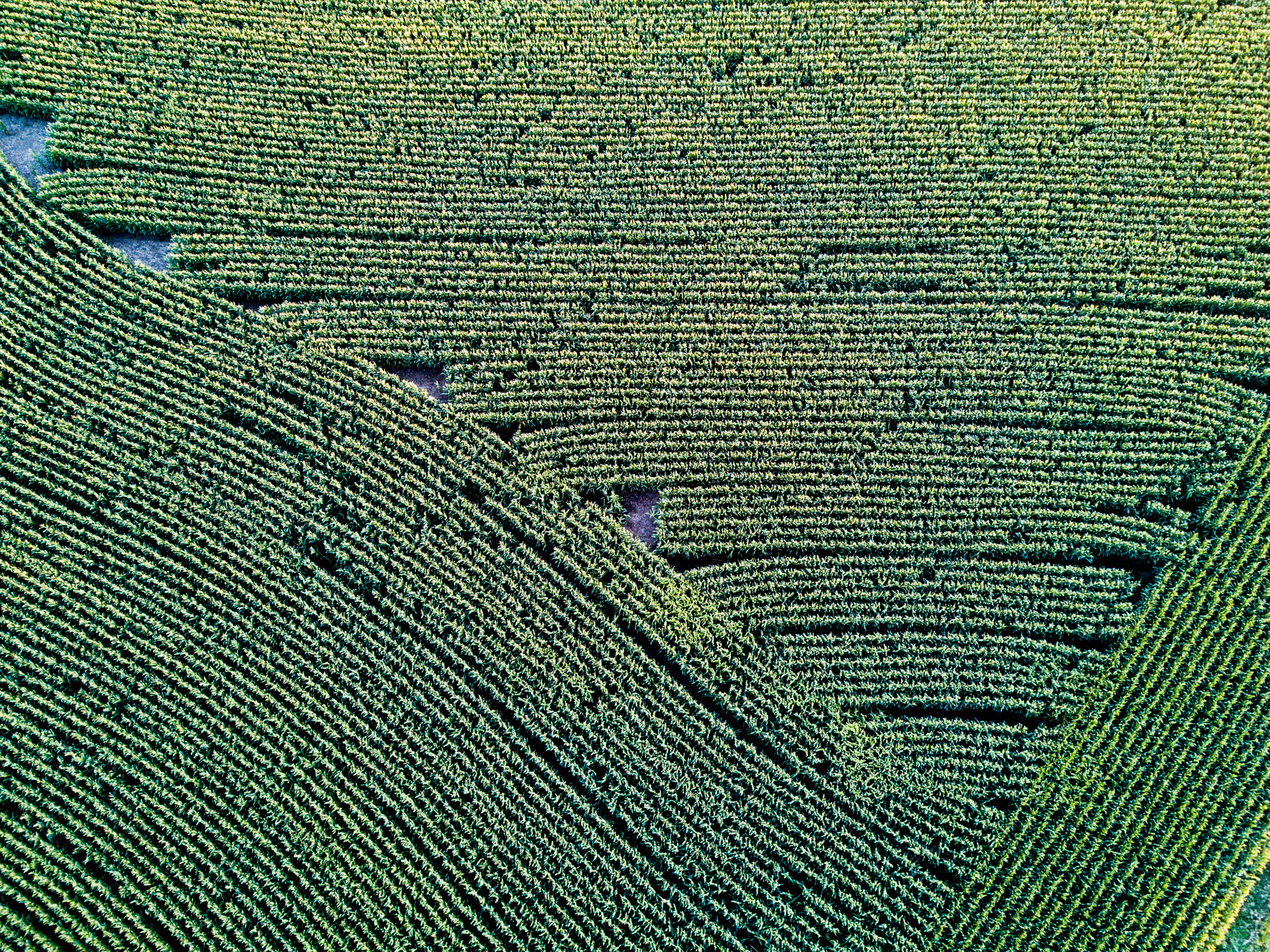
And sunflower fields that, from the air, look like the inside of a petri dish.
Wednesday, August 23, US Hwy 18 in Iowa
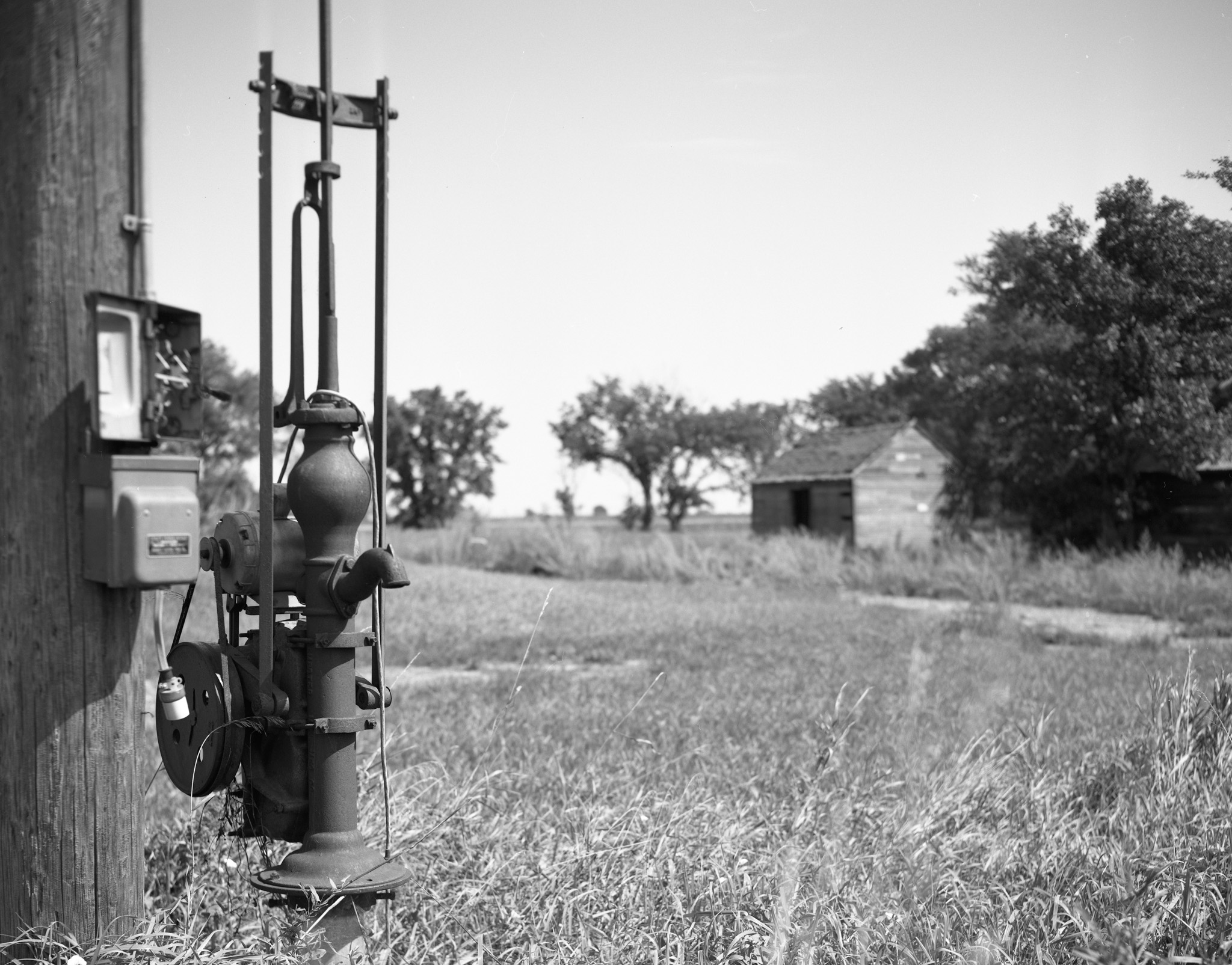
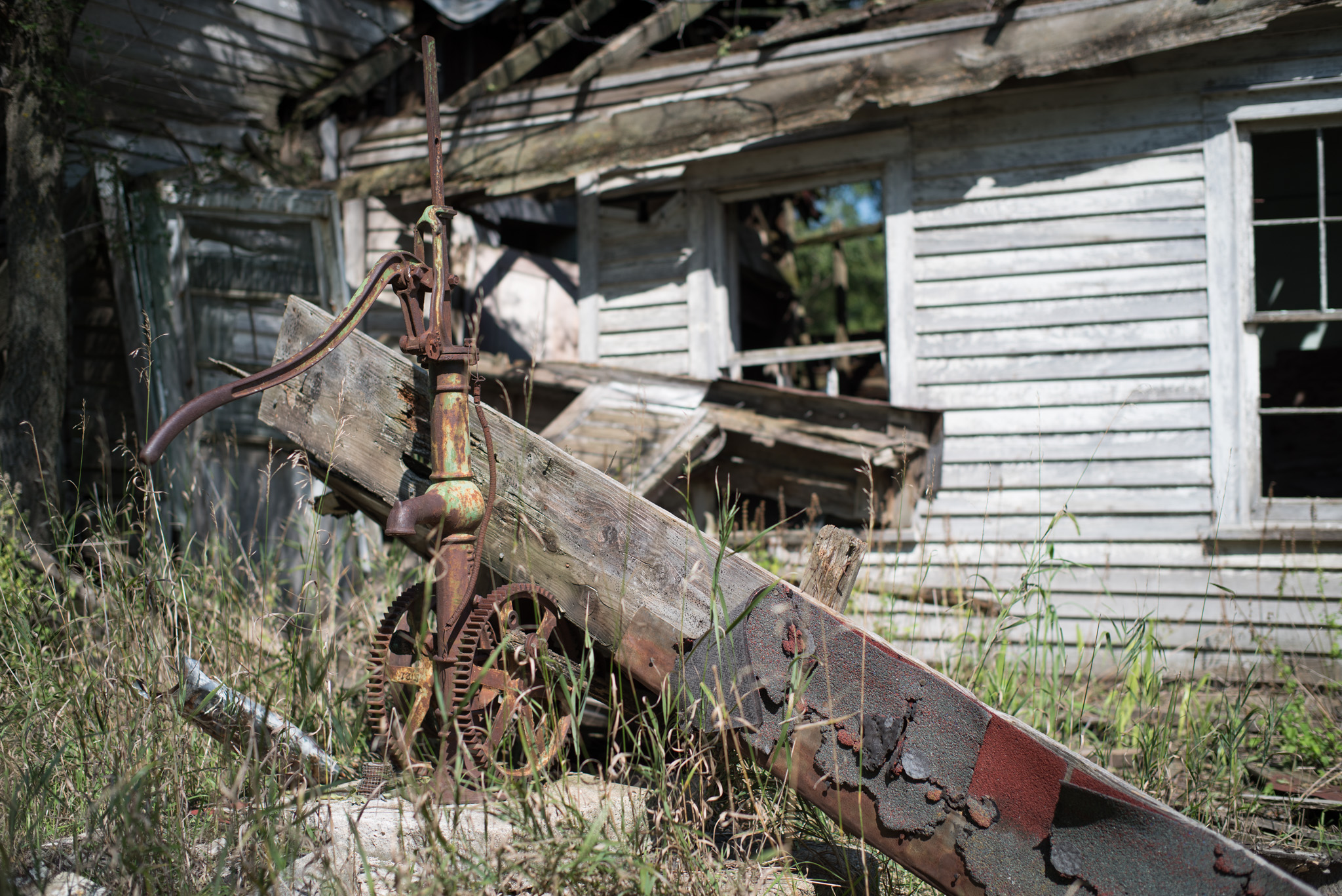
Driving through Iowa is normally a struggle with no cell phone service, non-stop tasteless anti-abortion billboards, and Casey’s Gas Stations. My plan was to get on Hwy 18 as soon as I could after spending a day at the Snake River Recreation Area in South Dakota. I’ve never traversed Iowa on Hwy 18 and I thought the change would be good. I drove through places in Iowa like Dicken’s Pit, Road’s End Prairie, and Monona. Much better. I found more abandonment – and became fascinated by rural Iowa electric water pumps. Does the handle wave up and down while it’s working?
I stopped in Monona, Iowa in order to view the sunset above abundant cornfields.

I enjoyed the trip despite being interrogated by Burlington Northern security, State Patrolmen, local cops and local citizens who were wondering what I was doing, especially when I was using my 4 x 5 view camera or drone. The locals I met in Nebraska and South Dakota were warm, generous, and curious people. But, I noticed one thing common to Nebraska, South Dakota and Iowa that puzzles me….rural towns seem to survive with just a Dollar General store and a Subway restaurant. I’ve got to go back and ask how they do it?
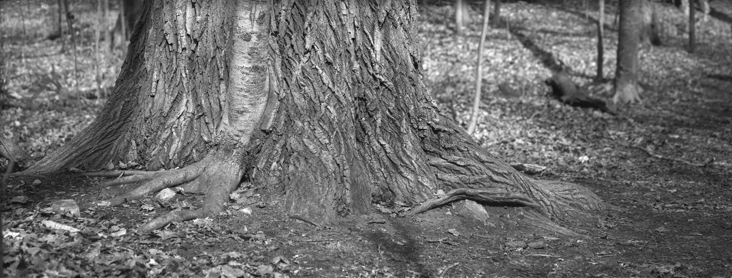 I came across a very intimate scene during a hike over the weekend. This is, as far as my limited skill at tree identification takes me, a Beech tree that has grown slowly while it’s much larger companion (oak?) has surrounded the smaller tree with new growth.